Don’t overinterpret, says Beijing after India objects to new standard map amid border dispute talks
text_fieldsNew Delhi: China has defended its move to release the new “standard map” for 2023, which shows Arunachal Pradesh and Aksai Chin as part of its territory, stating that it is a routine practice in accordance with its law, and asked India to “stay calm” and to refrain from “overinterpreting” the matter.
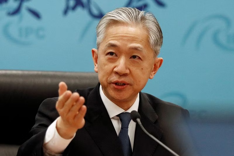
“On August 28, the Ministry of Natural Resources of China released the 2023 edition of the standard map. It is a routine practice in China’s exercise of sovereignty in accordance with the law. We hope relevant sides can stay objective and calm, and refrain from over-interpreting the issue,” Chinese Foreign Ministry spokesperson Wang Wenbin said, without naming India, while responding to a question at the weekly press briefing.
China’s response came after the Ministry of External Affairs (MEA) on Tuesday, reacted strongly to the map saying that such claims had “no basis” and would only “complicate the resolution of the boundary question”.
The release of the map comes amid the ongoing talks to resolve the tension at the Line of Actual Control (LAC).
"Just making absurd claims does not make other people's territories yours," External Affairs Minister S Jaishankar had told NDTV while reacting to China’s move.
Beijing on Monday released its standard map laying claims over the Indian territories Arunachal Pradesh and Aksai Chin, besides Taiwan and a large part of the South China Sea.
 Also Read: Rahul demands Modi's response on China's new map including disputed territories
Hours after the state-run Global Times posted the map on social platform X, India reacted to it sharply.
MEA spokesperson Arindam Bagchi said that India had “lodged a strong protest through diplomatic channels with the Chinese side” and that India rejects these claims as they have “no basis”.
In February, Chinese President Xi Jinping had issued new standards for the contents of maps, “in order to strengthen map management, safeguard national sovereignty, security and development interests and promote the healthy development of the geographic information industry”.
Two months later, China released a list of what it calls “standardised geographical names” for 11 places in Arunachal Pradesh, along with a map depicting much of the state as “Zangnan”, the southern part of the Tibet Autonomous Region.
The MEA was quick to react, outrightly rejecting Beijing’s attempt to rename places of Arunachal Pradesh.
The ties between India and China remain strained after the eastern Ladakh border row that began in May 2020.
Both troops are locked in an over three-year confrontation in certain friction points in eastern Ladakh even as the two sides completed disengagement from several areas, following extensive diplomatic and military talks.
 Also Read: Satellite images show China digging tunnels, building bunkers for troops in Aksai Chin


