Joshimath sank 5.4 cm in 12 days: ISRO's satellite pics
text_fieldsNew Delhi: The sinking town of Uttarakhand, Joshimath, has registered a rapid subsidence of 5.4cm in 12 days, satellite images produced by the Indian Space Research Organisation's (ISRO) National Remote Sensing Centre suggested, reported Hindustan Times.
The images show the sinkage of land here from December 27, 2022, to January 8, 2023. But there was also sinkage registered during April 2022 and November 2022, and the measure was 9cm then, but it was slow since it happened over seven months.
ISRO's Network Startup Resource Center (NSRC) said that the city recorded rapid subsidence between December last week and January first week.
While the subsidence zone is located at central Joshimath, including the Army Helipad and Narsingh Mandir, the satellite images also found that the crown of the occurrence is located near Joshimath-Auli road, as high as 2,180m.
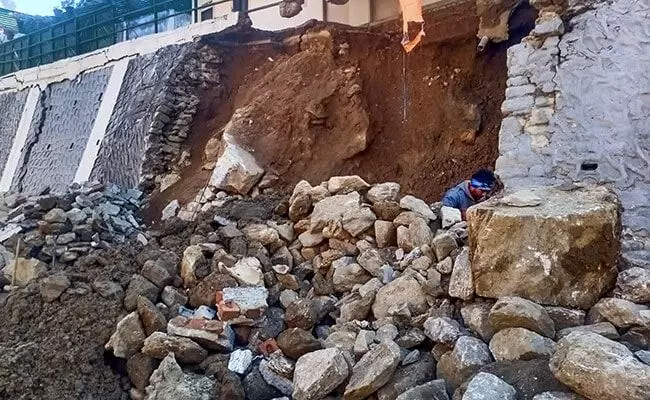
After hundreds of houses developed cracks and most of them became uninhabitable, the Chamoli district administration declared Joshimath a land-subsidence zone. Many families were relocated to relief shelters.
The demolition of two hotels here started on Thursday but stopped due to bad weather. Locals and residents stopped the mechanical demolition of the hotels earlier through protests. The administration informed that only hotel Malari Inn and Mount View Hotel would be demolished since their existence threatens the surrounding structures and promises that no other houses will be brought down for the time being.
The government has announced an interim relief package of Rs 1.5 lakh and has started working on a rehabilitation package.
While expert teams were summoned to study the crisis in the town, some experts blamed tunnelling work for NTPC hydel project for the sinkage. NTPC, however, claimed that their tunnels are not going through Joshimath.


