

















Centre standardises names of 28 geographical features in Ladakh
text_fields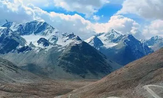

The Union Ministry of Home Affairs (MHA), in consultation with the Ladakh administration, has standardised the names of 28 places and geographical features in the Union Territory.
The names will feature on the official Survey of India map of Ladakh, the Press Information Bureau said.
The identified features include peaks, mountains, mountain passes, glaciers, valleys, rivers, lakes, water bodies and land areas.
The government said the exercise would facilitate accurate recognition of the locations and improve public awareness of their geographical significance.
The peaks include Atisha Giri, Kanishka Peak, Martand Giri, Zorawar Peak, Rinchen Zangpo, Sakyasri Giri, Marpa Lotsava Ri, Milarepa Kangri, Shiva Ri and Maheshvara Ri. The mountains identified are Karun Pir, Drak Karpo and Jolmori.
Chapchingal Pass and Shachmirk Pass have been standardised as mountain passes, while Parpik and Skamri have been identified as glaciers. Shkorga Valley has been formally recorded as a valley.
Other features include Brangsa, Kuksel, Dehra Compass, Gogra, Kumarayana Point, Panglung and Shamal Lungpa. Guru Rinpoche has been identified as a lake, Yangpa as a river, and Hot Spring as a water body.
Dehra Compass is among the features located in the disputed Aksai Chin region, which India claims and China controls, according to media reports.
The MHA said the naming exercise was carried out in consultation with the Ladakh administration. The standardised names will provide references for the identified features in official Indian maps and government records.
The exercise comes against the backdrop of Ladakh’s strategic and geographical significance, with the Union Territory sharing international borders and comprising high-altitude mountainous terrain.